Everything About Geotechnical GEO5

Geotechnical bim starts withGEO5 - Stratigraphy
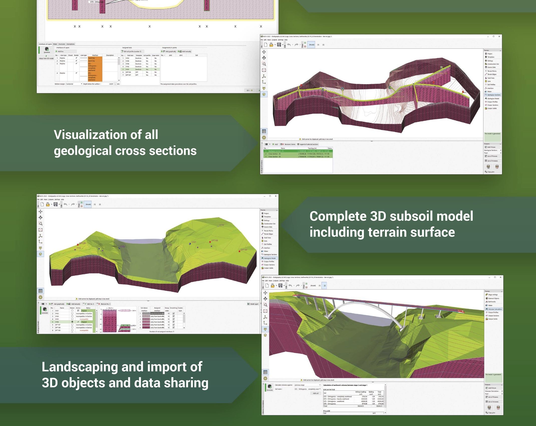
The Stratigraphy program is designed to process results from site investigation (boreholes, wells, CPTs, DPTs, SPTs, DMTs ...), generate 2D or 3D geological models, and export cross sections and geological profiles into other GEO5 programs. Available extensions: the Logs module for geological data reporting, the Cross Sections for creation of geological cross sections, the Earthworks for modelling of earthworks and calculation volumes. Mobile app Data Collector can be used for data collection in the field or laboratory.

GEO5 and BIM
GEO5 sees a future in BIM technology and is fully working on it. In our view, the following three points are the basis for working in the BIM:
1. The way of working - electronic storage and processing of all data and models throughout the whole life of the structure
2. Communication - the ability to transfer this data between other programs working with BIM technology
3. 4D model - modelling the structure in 3D and modelling subsequent changes over time

Working Methodology
The basic requirement of BIM is that all data which is stored in the program, is not lost, and is available at any time. It is clear what assumptions were made during their creation, what simplifications were adopted, and what the interpretation of the measured data was.
The core of our approach to BIM is the Stratigraphy program, which is followed by other programs. In the program, we start by collating site information to create a 3D model. The models and soil parameters obtained are then used for geotechnical calculations and modelling of the upper structure in other programs.

Communication of GEO5 supports:
– IFC Export of models with the possibility of exporting and defining user data
– Import and export tables and text files at many program levels
– Loading of data and objects from other programs (DXF, DWG, LandXML)
– Use of geotechnical AGS and SEP3 standards

4D model
The basis of BIM modelling is the creation of a 3D subsoil model, which is then developed further. Within the individual construction stages, it is possible to model the earthworks and upload objects – structures. The individual programs then allow the construction history to be modelled.
Top

PACKAGES AVAILABLE BY APPLICATIONSgeo5 packages

Complex Portfolio of Solved Problems
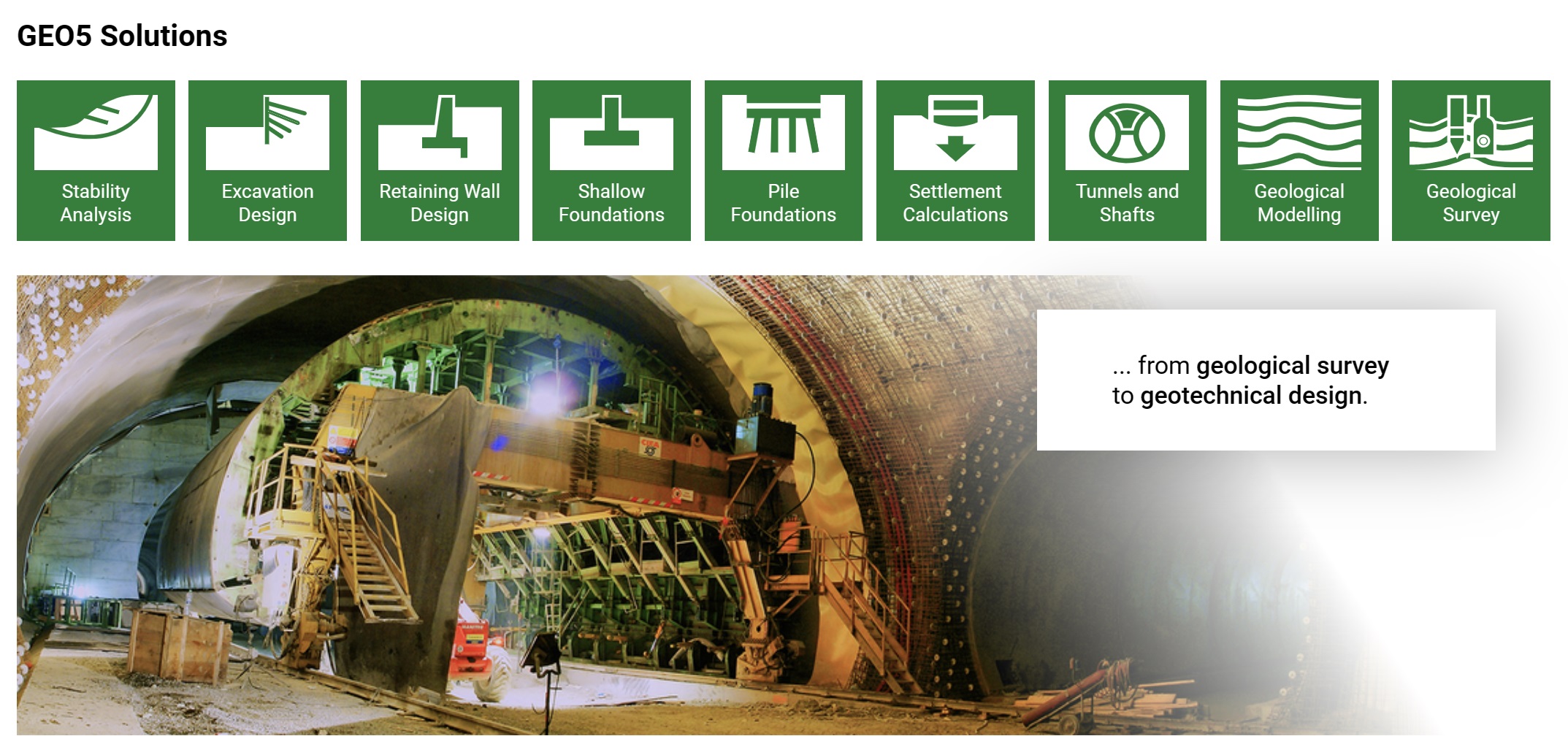
The GEO5 solution includes a set of programs for all types of geotechnical tasks. The programs work together and allow transfer of all input data easily between them...more

From Geological Survey to Design
In addition to the design and verification of geotechnical structures, GEO5 also offers complete options for geological survey processing - the data collection in field or laboratory, the creation of geological documentation of the field tests, the compilation of geological cross sections, and the generation of a complex geological model.

Analytical and FEM Calculations
The advantage of the GEO5 software is the ability to combine analytical and numerical methods. Both methods are independent thereby enabling results to be compared and cross checked. The benefit of the analytical approach is the simplicity of the input and the smaller number of input parameters required. FEM calculations which are generally more complex allow more detailed analyses to be performed.

Top

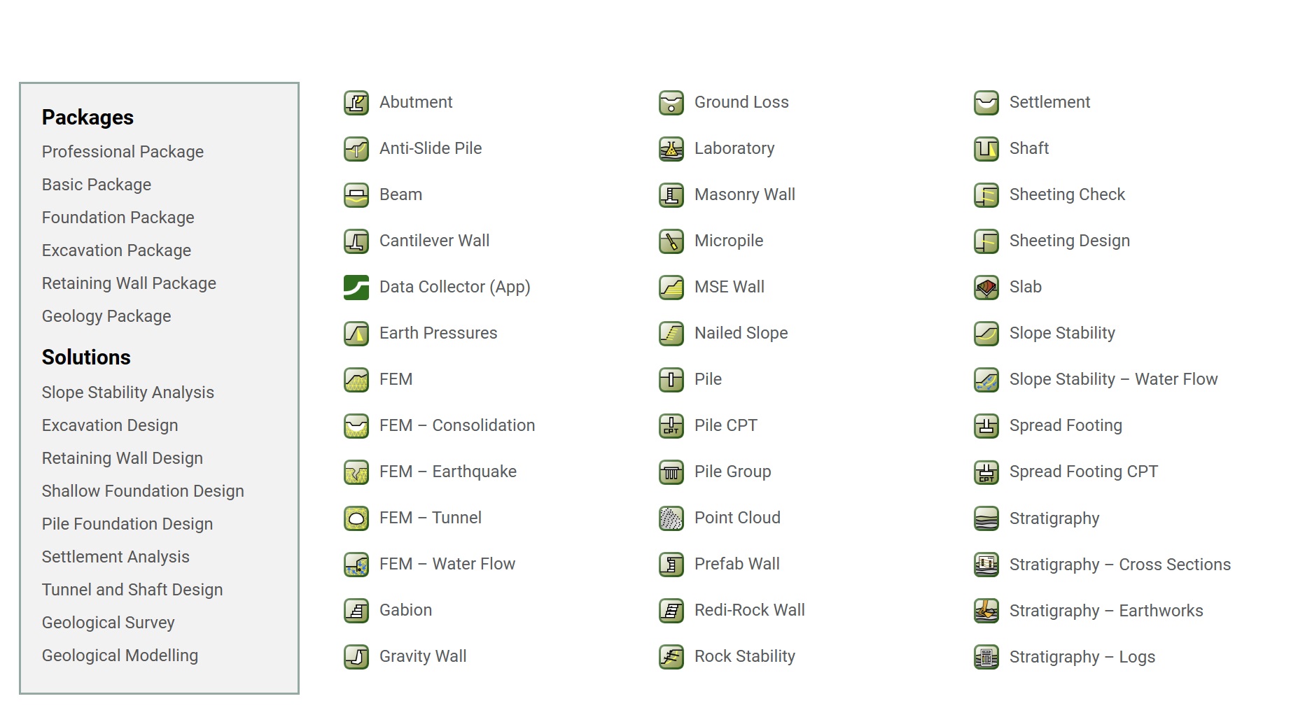
ABOUT 40 GEOTECHNICAL DESIGNS WITHgeo5 modules

Communication between GEO5 Programs
All GEO5 programs communicate with each other via the GeoClipboard, which can be used to transfer large amounts of input data between them - soils, interfaces, project information, various settings, etc.

The programs are also interconnected for related calculations; i.e. a retaining wall from the Gravity Wall program can be immediately checked for global stability in the Slope Stability program, or the bearing capacity of the foundation soil under the wall can be verified with the Spread Footing program. The data from the Slope Stability program can then be sent to the associated Slope Stability – Water Flow module, where the groundwater can be calculated numerically.

Communication with other programs
Communication with other programs is solved through many general formats – table data (txt, xls), CAD, IFC, LandXML, and many others. Most of the data can be both exported and imported.

A special case is the import of field tests - the programs can load data directly as recorded by the measuring machine - e.g. .cpt, .gef, .gru, etc.

Please download if the license should be updated during installation and use.


Please download for installation (for Demo and Licensed users).


Top